Volcanoes and tsunamis
A German-Indonesian research group is exploring the dangers posed by landslides on volcanoes.

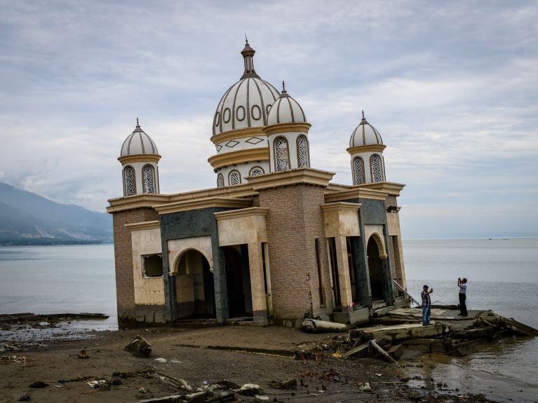
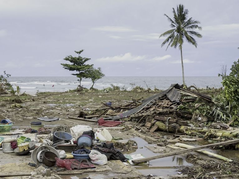
The fatal waves arrived with virtually no warning. On 28 September 2018, a tsunami up to nine metres high ravaged large parts of the Indonesian city of Palu. It had been preceded by an earthquake roughly 80 kilometres away – but an initial tsunami warning had been lifted again. More than 2,200 people died as a result of the two catastrophes. Just three months later, on 22 December 2018, a three-metre-high tsunami hit the coasts of the islands of Sumatra and Java. 430 died, 14,000 were injured and 30,000 lost their homes. Once again, the warning system failed.

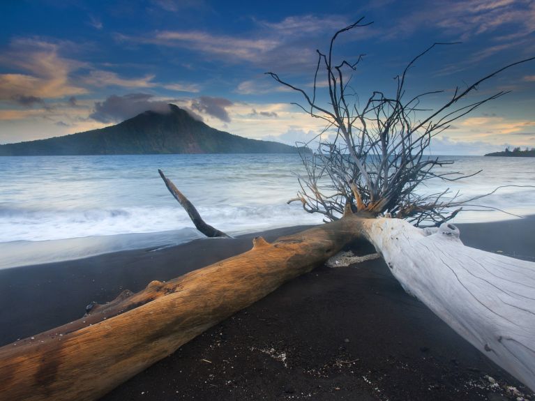
“We were initially puzzled by the tsunami in Palu,” says Professor Thomas Walter, who heads a working group in the Physics of Earthquakes and Volcanoes section at the German Research Centre for Geosciences (GFZ) in Potsdam. This is because the earthquake was triggered by what experts call a strike-slip fault, which is when the earth’s plates move horizontally. “Big tsunamis, it had been thought until then, are caused by vertical shifts.” In the case of the tsunami that hit Sumatra and Java, the measurement systems had no chance of detecting the monster wave because it was not triggered by an earthquake at all, but rather by a gigantic landslide on the nearby volcano Anak Krakatoa.

Less than five percent of all tsunamis are caused by such landslides. As they are also difficult to measure, they have not previously been a focus when developing early warning systems. The cooperation project “TsunamiRisk” wants to change this. 22 Indonesian institutions and seven German scientific centres, including the GFZ, are working on technical solutions for the early detection of such geological events. The mysterious tsunami of Palu was also discovered in retrospect to have been one of several tidal waves provoked by hidden landslides beneath the surface of the sea.
“It is no surprise that such tsunamis are relatively rare, based on the current data,” explains Thomas Walter. “The tidal waves caused by landslides tend to be smaller than the tsunamis triggered by earthquakes, and have only been recorded at all in the past few years.” TsunamiRisk soon identified a whole series of potentially unstable volcanoes, none of which has a single measurement station nearby to detect any changes that might occur. “Any tsunami in these areas would also take us completely by surprise.”
The latest devices allow the swell on the eastern side of an island to be measured on the western side.
As landslides generate only minimal seismic waves, highly sensitive seismographs are needed to detect them. “The latest devices can do this,” says Walter. “They allow the swell on the eastern side of an island to be measured on the western side.” Another option is to use infrasonic measurements such as those used in the global monitoring of nuclear bomb tests. “If a huge rock hits the surface of the sea, this generates a gigantic splash and thus a pressure wave that travels through the atmosphere at the speed of sound. And we can measure this.”
To ensure that a warning can really be given quickly enough, that is to say within minutes, a warning system is based on scenarios that have previously been played through on models. The real data are compared with the simulated data and the most probable scenario is identified. TsunamiRisk also cooperates with the company Gempa, a spin-off from the German Indonesian Tsunami Early Warning System (GITEWS) that was developed by a German-Indonesian team led by the GFZ following the devastating tsunami of 2004.
Unlike GITEWS, TsunamiRisk does not have the resources to develop and implement an adapted warning system itself. According to Professor Walter, the project sees its role more as providing impetus for Indonesian partners. “Of course, we also make resources available when necessary, such as satellites or geoscientific tools for data analysis,” the researcher explains. “However, our objective in the medium and long term is to better interconnect actors in Indonesia and to assist them with developing their own solutions.” TsunamiRisk has been supported since 1 March 2021 within the framework of the “CLIENT II – International Partnerships for Sustainable Innovations” funding programme of the German Federal Ministry of Education and Research.