Preventing disasters from outer space
They monitor liquid and frozen water and combat forest fires from outer space: Here we present two exciting aerospace projects.

Keeping an eye on the earth’s water resources
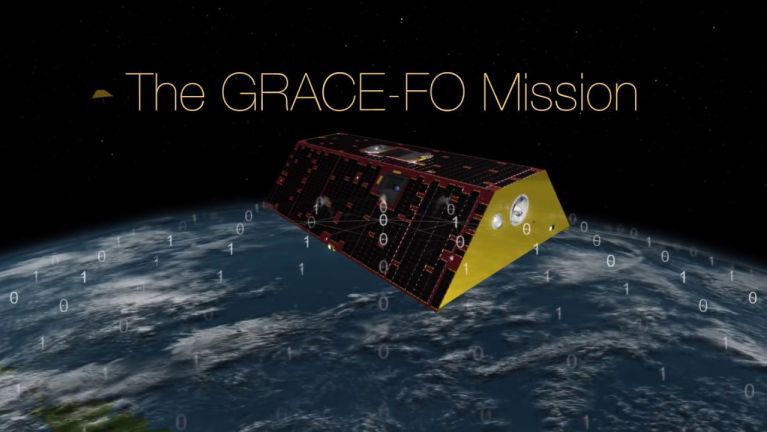
Changes in groundwater, melting glaciers, colder, wetter or drier air, they all influence the earth’s gravity. It is slightly stronger in places where the mass is greater.
This difference is being used by the Gravity Recovery and Climate Experiment (GRACE) from 2002 to 2017, as well as the subsequent project GRACE-Follow-On (GRACE-FO) which kicked off in 2018. The satellites in the co-operation project between NASA and the German Aerospace Center (DLR) collect data on the earth’s gravitational field. The data is then sent to the Jet Propulsion Laboratory in Pasadena/USA, the University of Texas in Austin and the German Research Centre for Geosciences in Potsdam. The scientists interpret the gravitational data to track how the earth is changing: are the sea levels rising? Are groundwater resources changing? Are the glaciers melting?
Dieses YouTube-Video kann in einem neuen Tab abgespielt werden
YouTube öffnenThird party content
We use YouTube to embed content that may collect data about your activity. Please review the details and accept the service to see this content.
Open consent formIn this way it became clear that Greenland’s ice sheet is shrinking – at an ever increasing rate. Over the past 20 years Greenland’s ice sheet has already lost 4.7 billion tons of ice. One of the consequences is that the sea level is rising by 0.55 millimetres per year.
Combatting forest fires from outer space
Ororatech is a Munich start-up enterprise that has developed an early warning system for the outbreak of forest fires. While they were still studying, the four founders Björn Stoffers, Florian Mauracher, Thomas Grübler and Rupert Amann developed a system based on artificial intelligence (AI) which is able to detect and warn about forest fires with the help of thermal imaging from outer space. First of all they are using images from existing space programmes, such as the European Earth observation programme Copernicus.
Dieses YouTube-Video kann in einem neuen Tab abgespielt werden
YouTube öffnenThird party content
We use YouTube to embed content that may collect data about your activity. Please review the details and accept the service to see this content.
Open consent formWhen they noticed certain observation gaps, they developed their first mini-satellite, which has been orbiting the earth since January 2022. It makes high-resolution thermal images of the earth’s surface and evaluates them with the help of AI. The technology registers forest fires immediately and reports them back to earth. This reduces the time span between the outbreak of a fire and the alarm signal to a few minutes in sparsely inhabited, almost impassable areas, such as national parks.
In the long run the Munich start-up is hoping to monitor not only the outbreak of forest fires but also other events on earth, such as the evaporation of water on the ground, or the thickness of oil films on water. More satellites should be orbiting for this purpose by the end of 2022.
You would like to receive regular information about Germany? Subscribe here:


